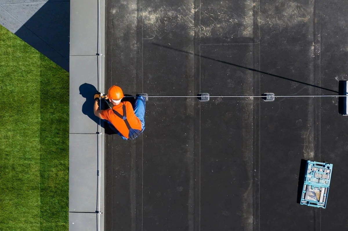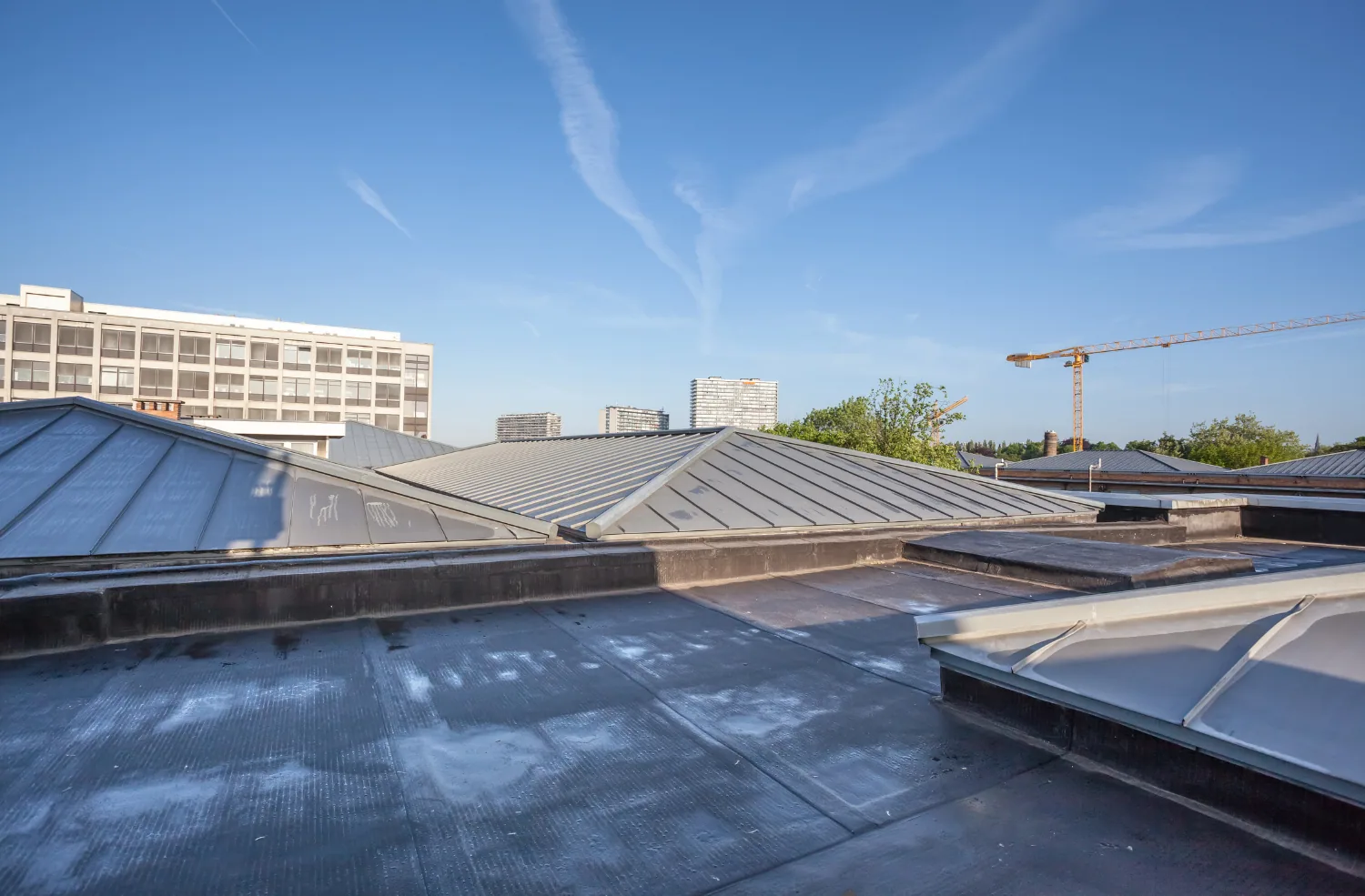

Evaluate drone roof inspection in Fullerton as a documented visual tool, with access limits, image controls, and qualified follow-up for close details.
Roof leak, storm damage or an inspection coming up?
A drone inspection in Fullerton depends on a safe flight window, authorized launch area, and clear ground buffer; if wind or site activity makes those conditions unsuitable, the capture plan should pause or shift to another method. The property manager should coordinate written permission, roof and ground access, nearby operations, and any restricted views before a flight is scheduled. The aerial record can help document broad roof geometry and visible surface conditions, but it does not replace close inspection or testing where a defect is concealed. The Orangethorpe corridor is a multi-node city planning area, not a single facility or a claim about any roof. Agree on the capture boundary, image handling, and follow-up review so the resulting record answers a defined property question.
Decide whether aerial imagery answers the question
Aerial imagery can help map roof sections, drainage patterns, debris, equipment locations, visible surface damage, and changes between visits. It may be useful for a large or difficult-to-access roof when a safe flight can be arranged. It is less useful when the question depends on close examination of a seam, flashing, fastener, membrane puncture, or concealed moisture. Start by asking how the image will change the owner’s decision. If the answer requires contact, measurement, testing, or a warranty determination, a person with appropriate roofing expertise still needs to review the condition. A commercial roof inspection can combine image review with safe, targeted ground or roof observations.
Plan permission, safety, and privacy
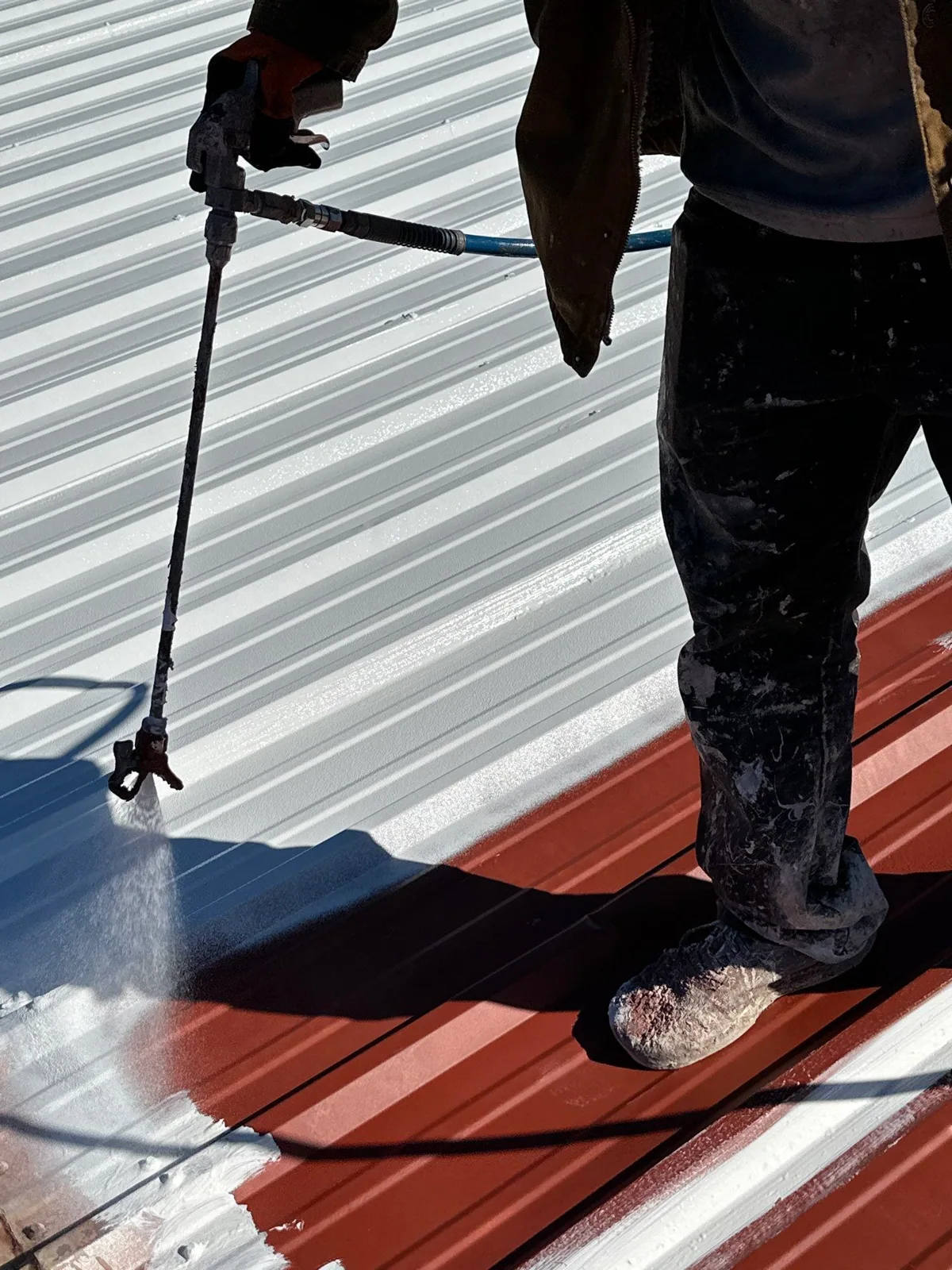
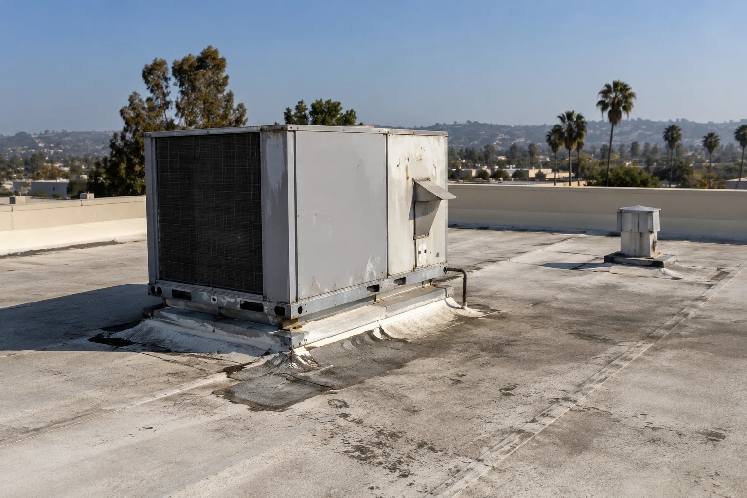
Confirm written property permission and the responsible site contact before flight planning. Review launch space, overhead obstructions, vehicle routes, pedestrian activity, roof height, and emergency landing options. The operator must determine whether the planned flight complies with applicable aviation rules and any local restrictions; a property owner’s consent does not replace those requirements. Avoid capturing neighboring properties, license plates, or people when they are not needed for the inspection. Restrict access to the image folder, use the approved retention period, and label the surveyed property and date. Before flight, the operator checks current wind, visibility, equipment limits, airspace requirements, and the approved route; long-term averages do not determine whether conditions are safe that day.
Capture images that can be reviewed later
Use a repeatable route, overlap, scale references, and lighting notes where practical. Record the camera angle and any portions hidden by parapets, trees, rooftop equipment, glare, or shadow. A broad orthomosaic can support section mapping, while selected oblique images may show edge conditions. Do not suggest that resolution alone reveals attachment, moisture, or membrane integrity. Keep original files and processed views linked so a reviewer can trace an observation to the source image. If the property has separate additions, map each one independently instead of presenting a single undifferentiated roof surface. On return visits, consistent labels and comparable viewpoints make changes easier to identify.
Pair imagery with qualified roof interpretation
A qualified reviewer should mark each observation with location, confidence, and recommended next step. Separate visible debris or displacement from suspected underlying damage. If an image suggests ponding, compare the appearance with roof slope, drainage, and conditions observed at a different time. Do not call a thermal pattern moisture without suitable test support. A moisture survey is a distinct method with its own conditions and interpretation limits. For routine tracking, connect images to a preventive maintenance record and use the known roof system details when available.
Respect conditions that imagery cannot show
Drone images generally do not expose concealed layers, attachment, deck condition, active leakage paths, or the performance of a repair. They may also miss small defects when focus, angle, distance, or resolution is unsuitable. The report should say what was not captured and why. Where a close view is necessary, schedule a safe inspection with appropriate access and fall protection. A distribution center roof profile may help frame broad operational considerations, but it cannot describe an individual site's access or roof. Use the Orangethorpe Avenue geography only as a broad city reference, not as evidence that any particular roof was flown.
Deliver a controlled, decision-ready file
Provide a dated image index, marked roof plan, operator and reviewer roles, flight limitations, access areas, observations, and follow-up recommendations. Record the authorized property and scope in the owner’s project file, and keep unrelated identifying details out of any shared image set. State whether images are suitable for comparison, inspection support, or only preliminary screening. Preserve original files according to the owner’s agreement and avoid sharing imagery beyond authorized recipients. If findings prompt repair, testing, or replacement evaluation, open a separate work scope with defined boundaries. This keeps an aerial record useful to future facility staff without overstating the inspection or presenting a flight as proof of concealed roof performance.
The operator should brief the reviewer on how images were captured before the reviewer classifies conditions. Include altitude bands, camera angle, resolution, overlap, exposure changes, and gaps caused by obstructions. A wide image may show a roof section boundary but hide a narrow separation at an edge. A closer view may distort scale unless it includes a known reference. The file index should preserve the original image identifier and the report’s annotation so another reviewer can trace the observation. If a potential defect cannot be located reliably, label it for follow-up rather than presenting a precise repair quantity.
A useful comparison program repeats the same safe and authorized flight path after maintenance or a documented event. Keep the camera settings and viewing direction as consistent as practical, and record differences that might affect comparison. Changes in shadows, rooftop equipment, seasonal conditions, or image processing can look like a roof change when the surface itself has not changed. A qualified reviewer should state whether a comparison is reliable. Add the image set to the maintenance file only after the owner approves its use and retention. Where a close detail needs review, arrange a separate safe visit rather than attempting a risky lower flight.
Privacy and data handling should be part of the written work order. Specify who may receive raw imagery, where it will be stored, how long it will be retained, and whether faces or unrelated property details should be obscured before wider sharing. Do not use customer images in marketing without separate written permission. The operations contact should have a way to report an incorrect property label or an image that includes sensitive information. The final handoff should include only the scope-approved views and a brief note about excluded areas. A carefully limited file can support roof management while respecting the people who use the property.
For change detection, label each image with the roof section and viewing direction. A reviewer can then compare the same edge, drain, or equipment cluster on a later visit and decide whether a close inspection is warranted. Record any change to the flight path so the comparison stays honest.
The property contact can retain the approved delivery list with the roof asset records, so future staff know which version was reviewed and whom to contact about a follow-up question.
Commercial Roofing Questions
Can a drone replace a roof inspection?
No. It can add overhead views, but close details, concealed conditions, and testing may require qualified in-person work.
Can drone images confirm wet insulation?
No. An image may guide a question, but moisture requires a suitable method and qualified interpretation.
Is property permission enough to fly?
No. The operator must also assess applicable aviation rules, airspace, safety, and site restrictions.
What should the report include?
Include dated images, a marked plan, limitations, reviewer notes, and specific follow-up actions.
Are neighboring buildings included in the inspection?
Only when authorized and included in the scoped survey; avoid capturing unrelated properties or people.